After hiking the first 300 miles of the AT, I was reviewing my photos and found several interesting ones I am now sharing with you.
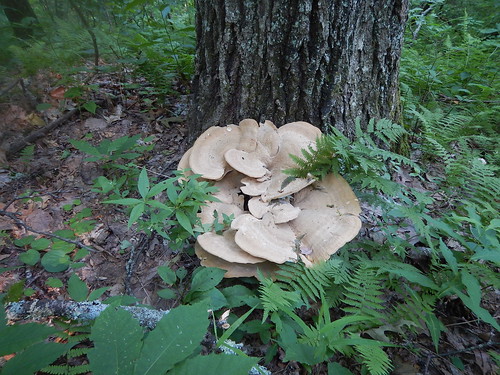
With the occasional rains, we come across lots of different types of mushrooms and fungus. This one was very large and fairly soft compared to other tree fungi I am used to seeing in the Northwest.
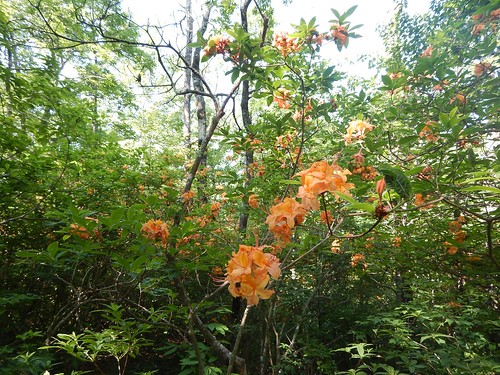
The flame azalea and mountain laurel made hiking the "green tunnel" a lot more enjoyable.
These blue daylilies appeared along the entire trail. Supposedly their blue bloom only lasts a day, but I did not stick around to see if that was true.
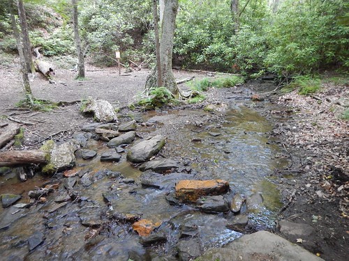
I frequently used my cut off gallon jug bowl to collect water from these water seeps found along the trail. I think I only came across three rivers and two creeks during my 300-mile journey. My drinking water almost always came from seeps like this. You can see my Steripen with its ultraviolet light is purifying the water. To me, the water I used probably did not need purification, but I did it just in case.
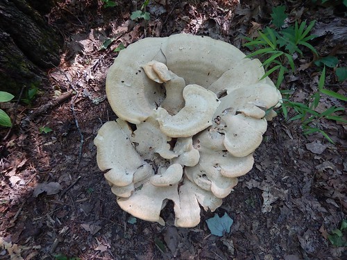
Another juicy fungus.
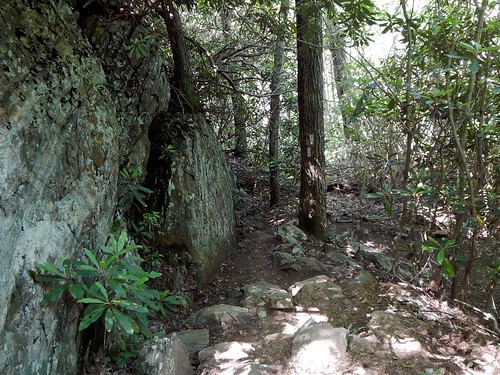
A beautiful rocky part of the trail near Albert Mountain---100 miles.
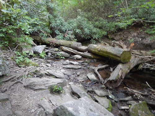
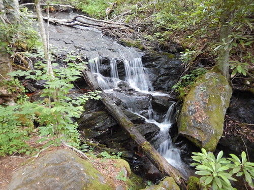
Finally a real creek crossing just past Winding Stair Gap---115 miles
More flaming azaleas.
Nantahala River with the Rivers End Restaurant along the left side---137.3 miles
Near the upper center of the picture below, I am waiting for my bowl to fill with water from a very slow-flowing seep so I can fill up my two water bottles.
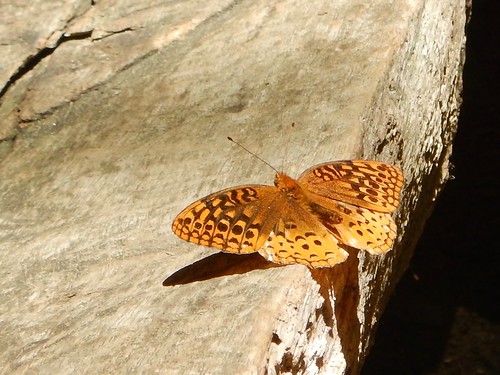
A lazy butterfly entertains me at a rest stop.
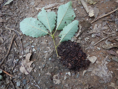
Although I only encountered one black bear, I came across lots of bear scat along the trail. I wonder if bears consider the AT to be one long latrine for them.
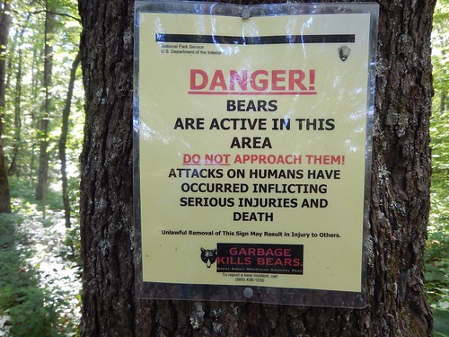
These signs appeared near most of the shelters.
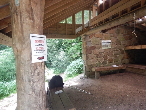
Three of the shelters like this one at Spence Field Shelter were closed because of bear activity---183 miles.
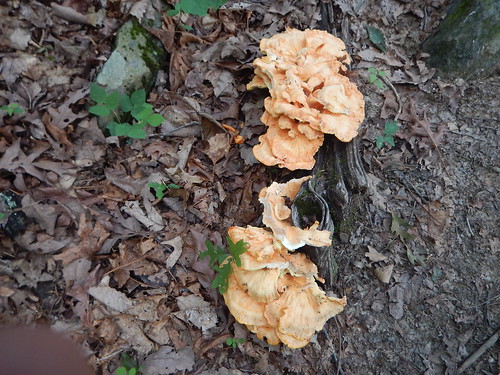
Orange fungus this time.
Lots of these red Cardinal flowers grow along the AT.
Rock and tree blend together along the AT near Mollies Ridge Shelter---180 miles.
Boardwalk on the AT just past Clingman's Dome---200 miles
Wild Turkey along the road to Gatlinburg, TN
Acres of rhodies in bloom along the AT.
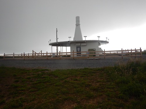
This is not an alien landing pad on top of Snowbird Mountain, but rather an FAA VOR that is a navigational aid for airplanes---245 miles.
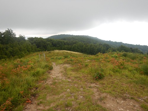
Here is the other part of the Snowbird Mountain.
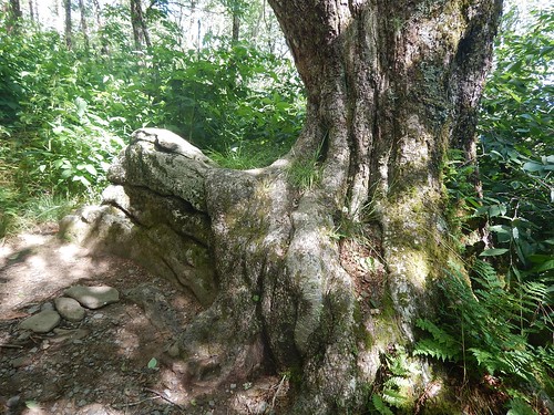
Tree eats sign.
Lots of liverwort clinging to the rocks near Hot Springs---273 miles.
L
ast look at the French Broad River from Lovers Leap Rock---275 miles.
A crispy sign as a reminder of the April 2016 wildfire that burned over 6,000 acres and closed this portion of the AT from Hot Springs---273 miles-- to Hurricane Gap--283 miles.
Here is what the Silver Mine fire looked like overlooking Hot Springs, NC on April 29th. People along the trail told me that they think it was started by a hiker who had overdosed on LSD and gave the Hot Springs people and police problems and allegedly said: "I will burn Hot Springs down." I haven't seen any articles about this, but that is what people along the trail and townspeople are saying.
This turtle is a fire survivor found along the portion of the AT that was closed because of the Silver Mine fire.
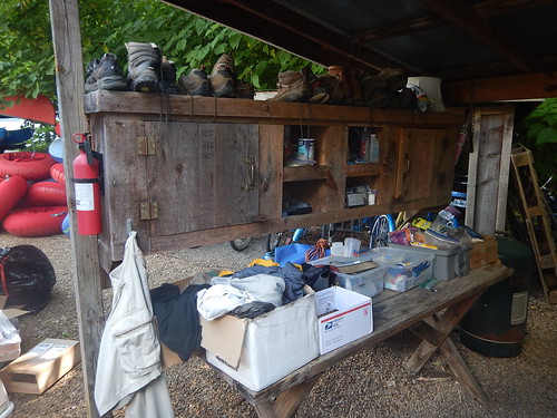
At the AT hostels, you can always find hiker boxes like these. They usually have two types of boxes, one for food and one for gear. Hikers leave stuff they no longer need or want to carry. This hiker box area is at Uncle Johnny's Nolichucky Hostel and Outfitters. Since I was leaving the trail here, I left behind a half-filled bottle of alcohol for stoves.
During my hike, I have noticed a number of hikers who stay at the various hostels are doing work for stay and many of these guys also dip into the hiker boxes as their primary food source. One fellow at Erwin, TN, was staying here until the end of the month doing chores around the place until his disability check was deposited in his bank at the beginning of July.
End of the Appalachian Trail for these shoes and me.


No comments:
Post a Comment